| Home | | | Bio | | | Artist Statement | | | Art Gallery | | | Bookshop | | | Events | | | Blog | | | Guestbook | | | Mailing List | | | Links | | | Contact |
“Geo” is a root word from the Greek that means “earth” or “of the earth” as does its French equivalent “terre.” As such the two words combined and coined as one by the artist reflect the “landscape” origins of his work, be they classic landscapes, figurative art or abstractions. It is the artist’s belief that there is little in the natural or artistic world that does not qualify to be considered a landscape. While conventionally, the latter is normally deemed to be that art which depicts the form and geometry of the land comprising the physical world, life forms are also landscapes derived from evolution, each being unique in form, colour and texture. Those terms also describe that which comprises abstract art. In essence, the canvas, board or paper are starting planes on which are built the landscapes that form our artistic depictions of the natural and abstract worlds. The totality of these realms become landscapes or in this artist’s case, his "geoterre.”
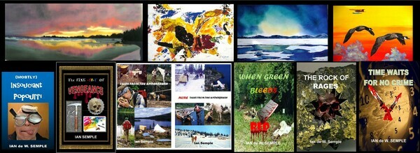
BOOK ALERT! The artist's latest book "Time Waits for No Crime" is now available in paperback and e-book format. Check out the Bookshop section of this website for details.
*********************************************************************
A PASSING THOUGHT
"A blank canvas or page invites the application of brush or pen to enliven a barren entity with some form of original thought."